

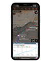

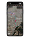
Aconcagua summit GPS map
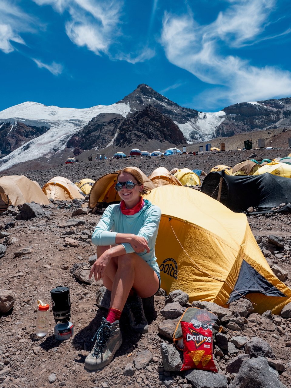
One of the Seven Summits and the highest peak outside of Asia, Aconcagua (6,962m) is a serious high-altitude challenge with one of the highest failure rates of any major expedition climb. Whether you’re going solo or joining a group, success hinges on good planning, smart pacing, and staying on track every step of the way.
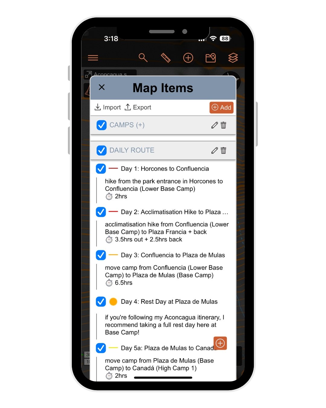
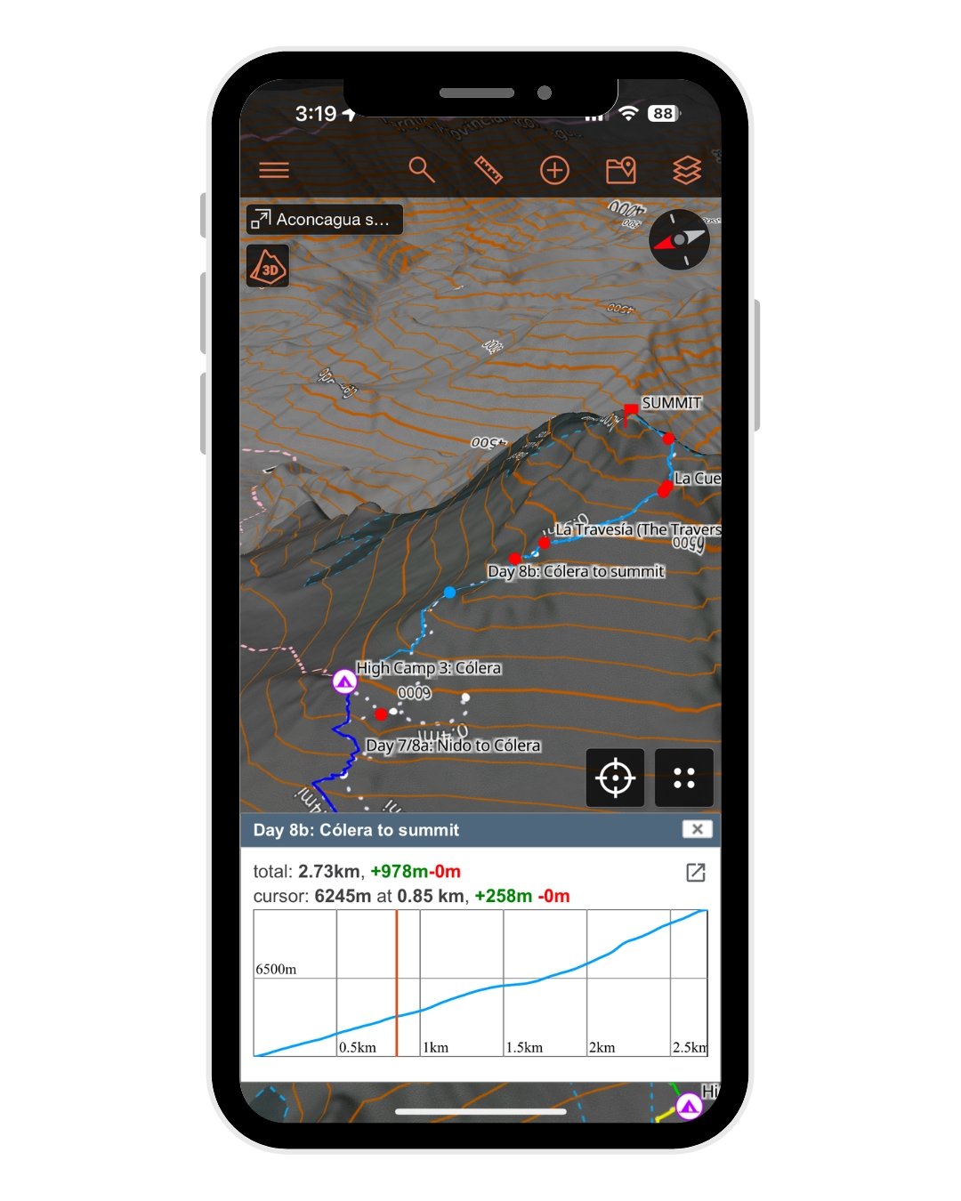
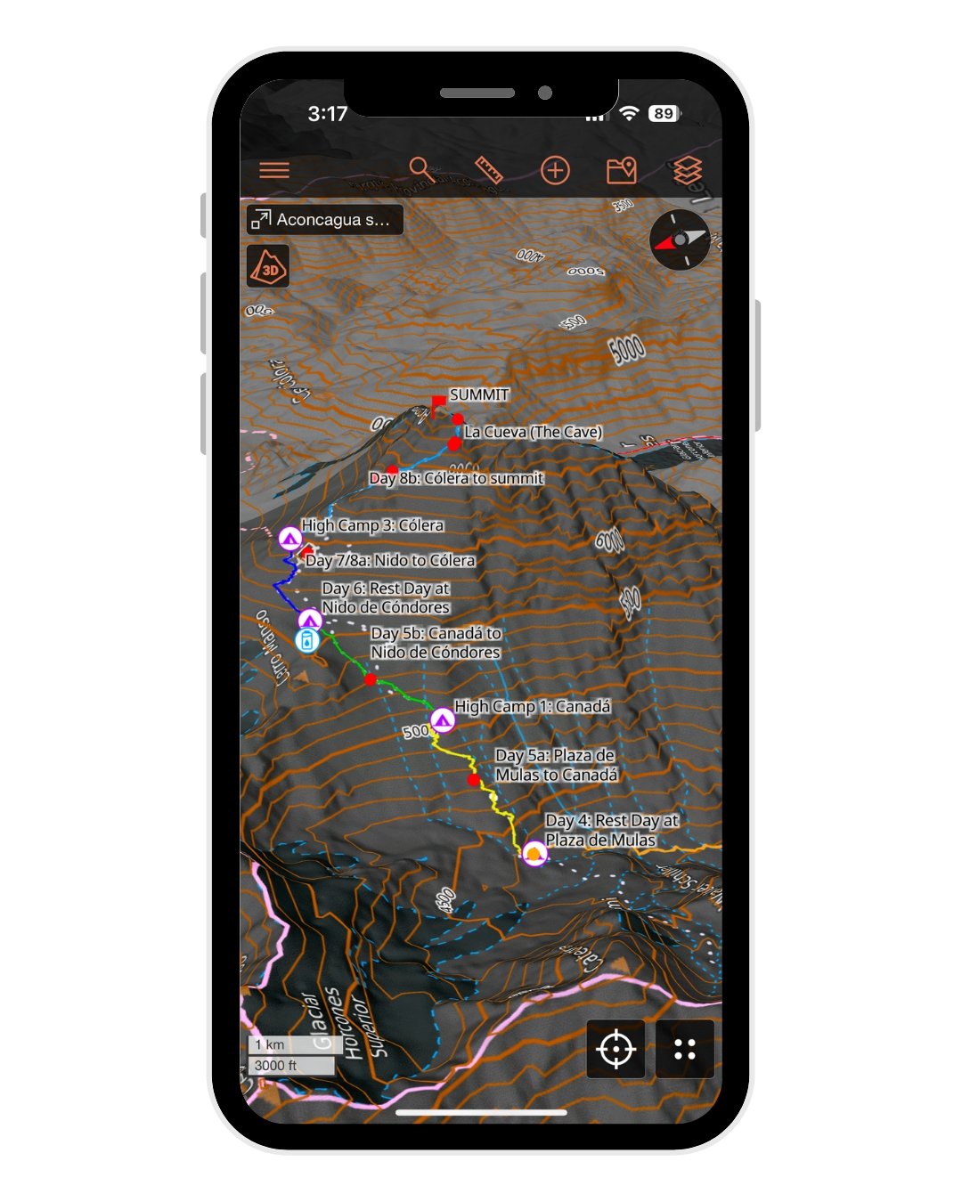
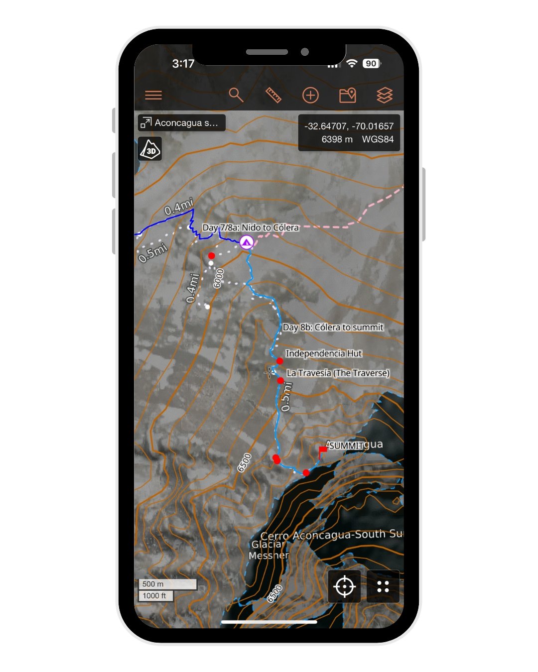
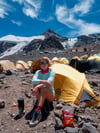
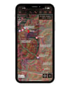
This map won’t do the acclimatisation for you, but it WILL help you navigate confidently, monitor your progress on the mountain, and know exactly what’s ahead. Built and refined during my successful solo expedition in February 2024, it includes detailed daily tracks, camps, acclimatisation hikes, trail notes, and essential waypoints to support every stage of the climb!
✅ What’s Included:
• Daily tracks + acclimatisation hikes for the "Normal" Horcones Valley route, based on my proven summit itinerary + successful solo expedition in Feb 2024
• All base camps & high camps (Confluencia, Plaza de Mulas, Canadá, Nido, Cólera, Berlín)
• Essential waypoints, including La Cueva, Independencia Hut, the Traverse, Canaleta & Filo del Guanaco
🗺️ File Compatibility:
Your purchase includes 2 map files:
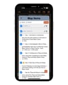
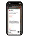
• JSON file – fully optimised for CalTopo with trail stats, detailed navigational notes & hundreds of waypoints (RECOMMENDED FOR BEST EXPERIENCE!), Gaia GPS, or other mapping apps that support this format
• GPX file – compatible with Gaia GPS, AllTrails & all other GPS mapping apps, but with some loss to internal file structure, colour-coding & trail notes
+ a custom PDF manual – how to import + use your map in ANY platform, with a detailed explanation of map layers, waypoints, navigation & downloading for offline use in CalTopo (9 pages)