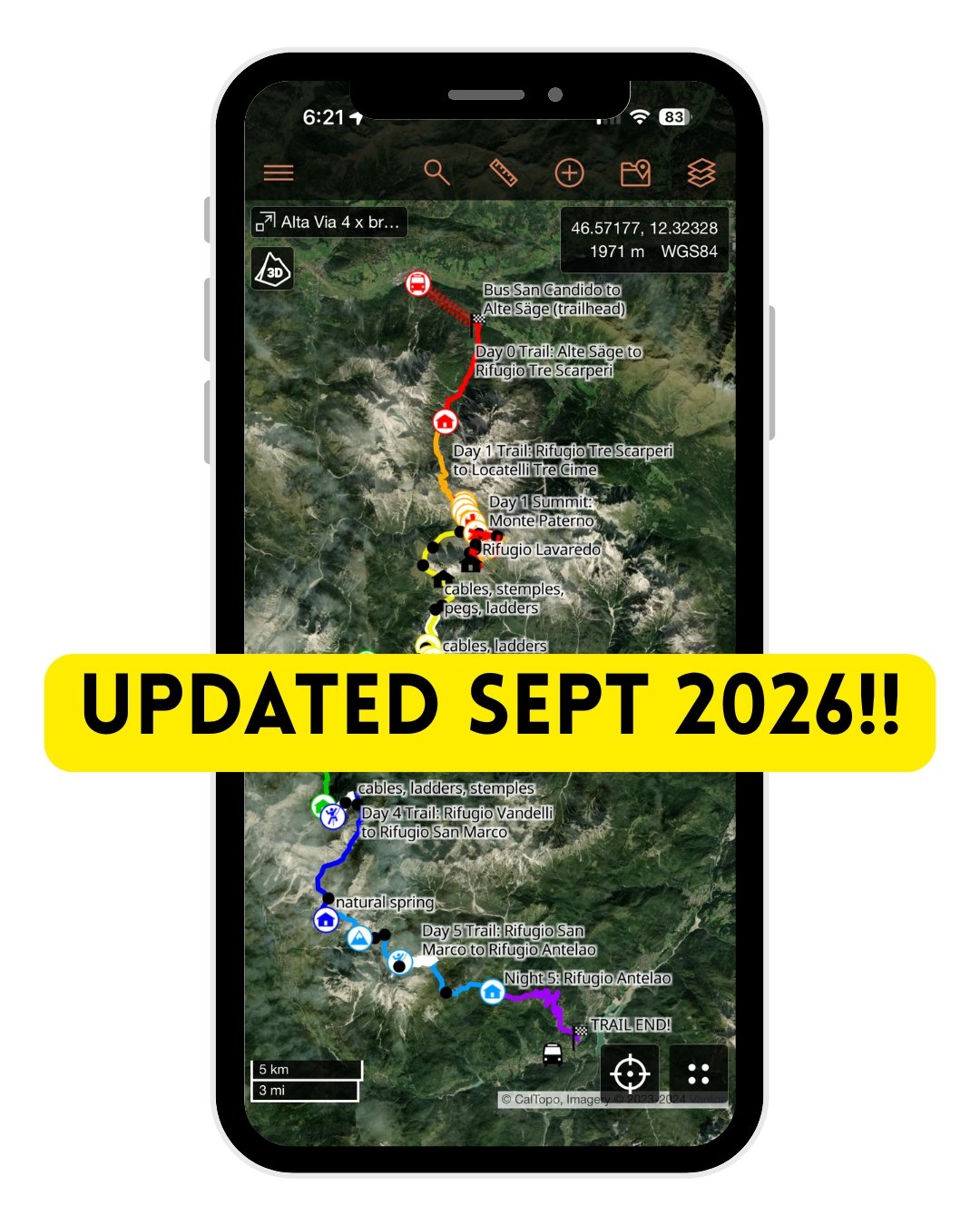
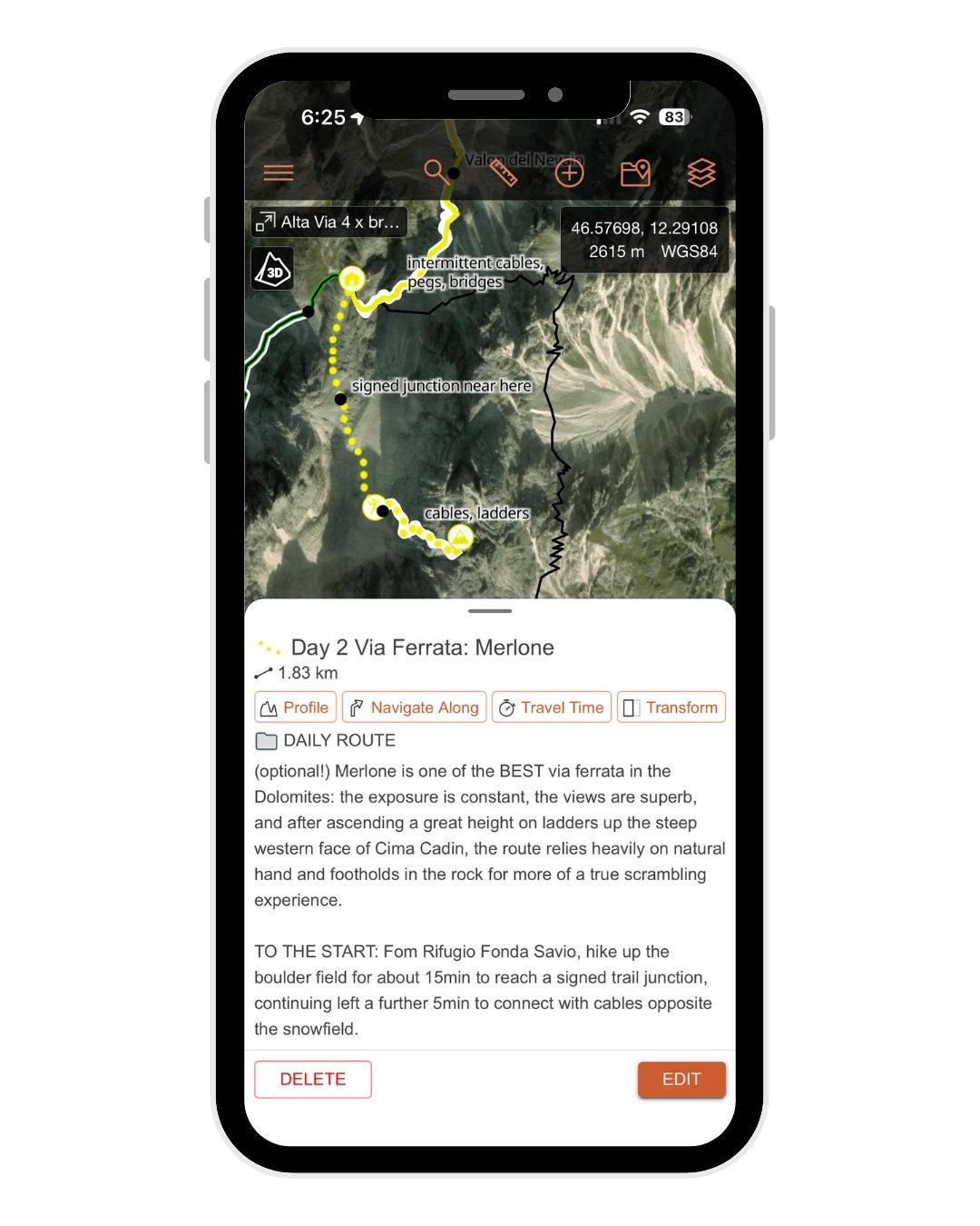

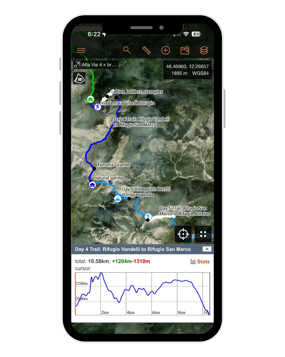
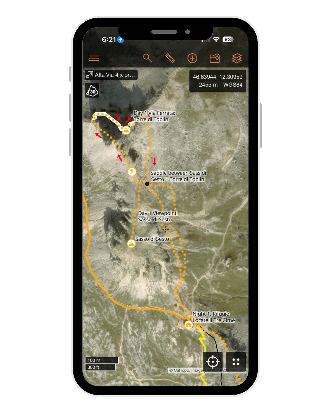
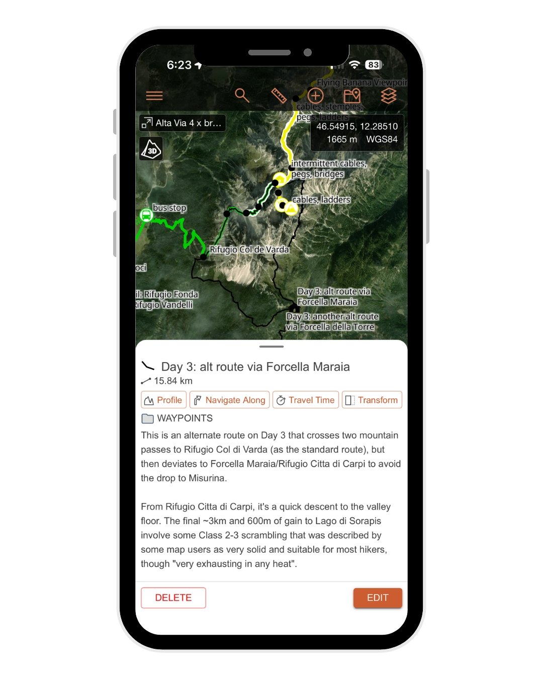

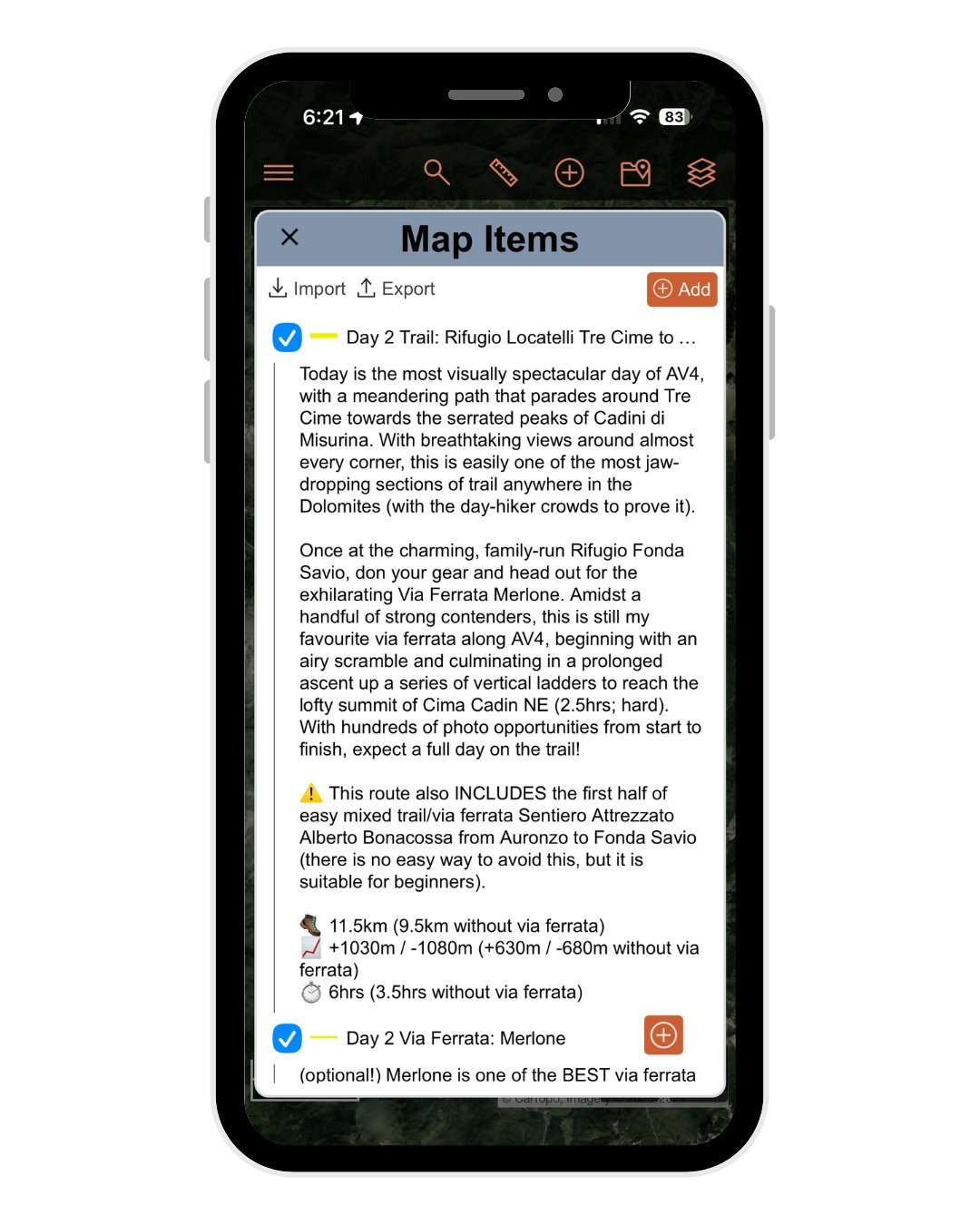


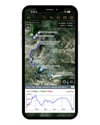
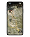
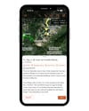


Alta Via 4 adventure route GPS map
Alta Via 4 is the most scenic and thrilling of all the high routes in the Italian Dolomites, offering jaw-dropping alpine views, iconic summit opportunities, and exhilarating via ferrata nearly every day.
My custom AV4 itinerary elevates the standard route with heaps of exciting off-trail opportunities, and includes 7 epic side trips for even more ridge scrambling, ferrata fun & Dolomite magic. Built for confident hikers with a head for heights, this is the absolute best way to experience Alta Via 4.
UPDATED SEPT 2026 BASED ON USER FEEDBACK: new alternate routes, better descriptions, additional waypoints!
✅ What’s Included:
• Complete daily GPX tracks following my custom AV4 adventure route (+ new alt routes!)
• 7 scenic side trips, from quick summits to epic via ferrata— each with a dedicated GPS track & route description
• Recommended & alternate rifugi (mountain huts) to support flexible planning
• 102 total map items, including daily tracks, mountain huts, side trips, via ferrata, cable/ladder sections & other key waypoints to help you navigate
🗺️ File Compatibility:
Your purchase includes 2 map files:
• JSON file – fully optimised for CalTopo with trail stats, detailed navigational notes & hundreds of waypoints (RECOMMENDED FOR BEST EXPERIENCE!), Gaia GPS, or other mapping apps that support this format
• GPX file – compatible with Gaia GPS, AllTrails & all other GPS mapping apps, but with some loss to internal file structure, colour-coding & trail notes
+ a custom PDF manual – how to import + use your map in ANY platform, with a detailed explanation of map layers, waypoints, navigation & downloading for offline use in CalTopo (9 pages)