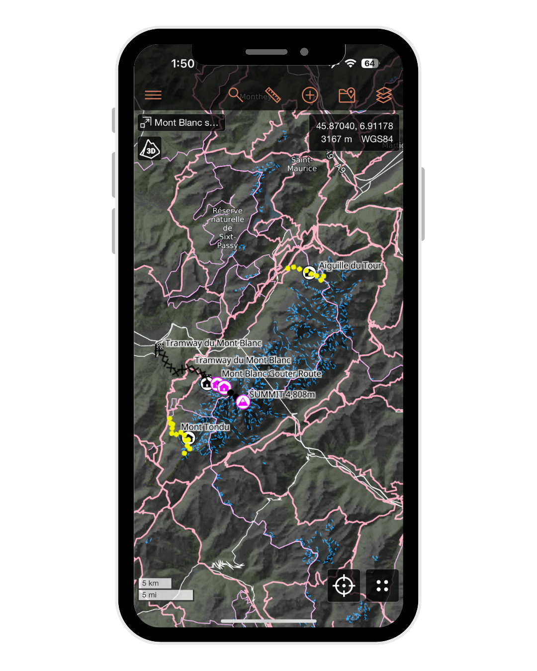

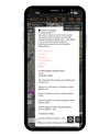
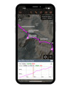
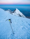
Mont Blanc summit GPS map
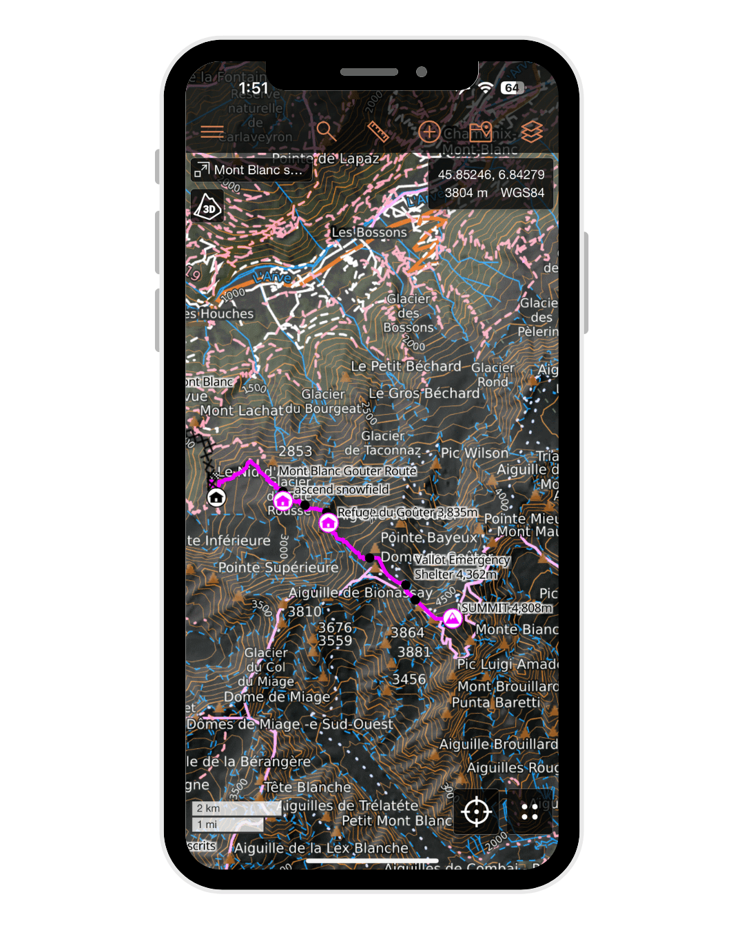
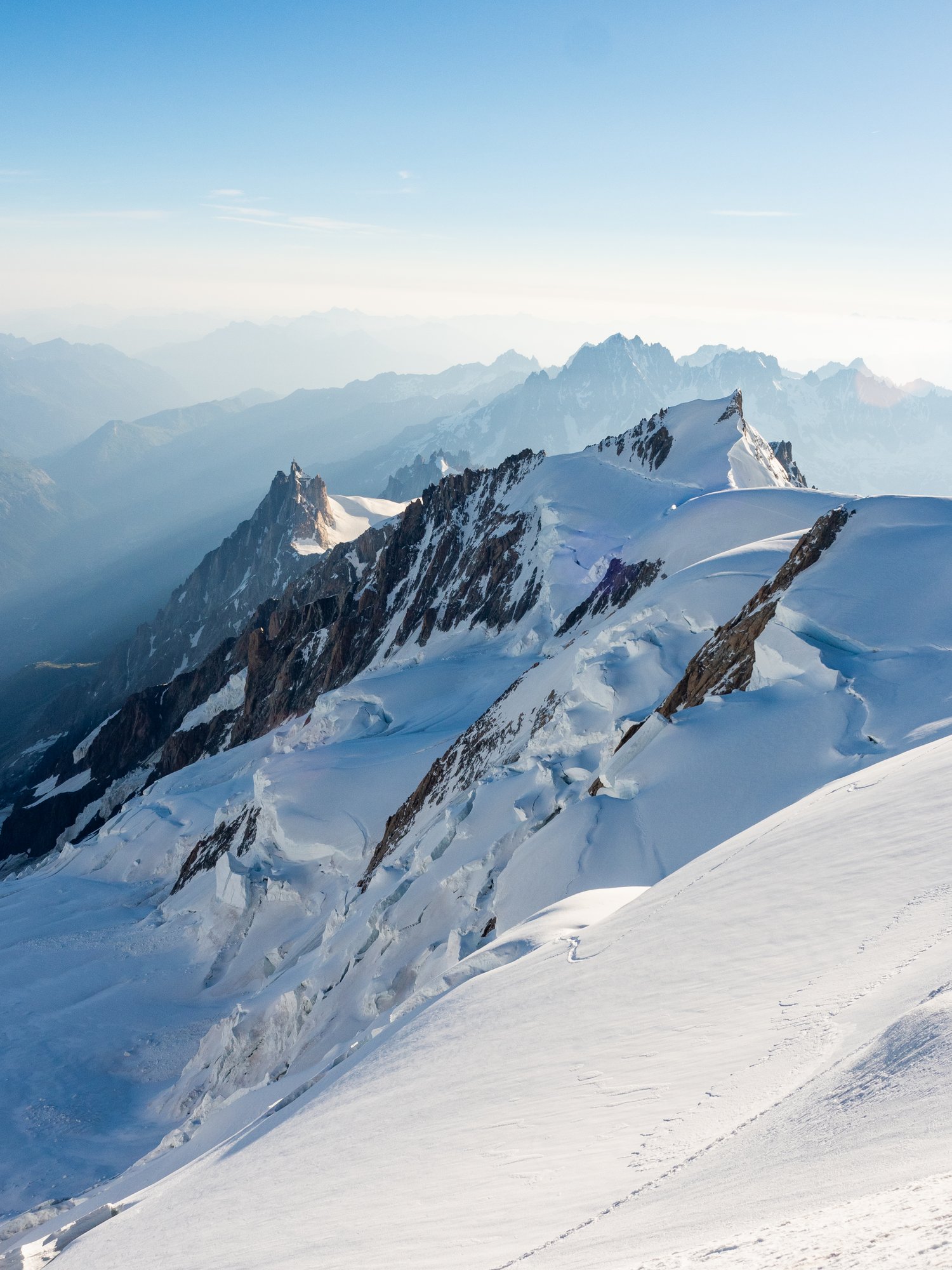
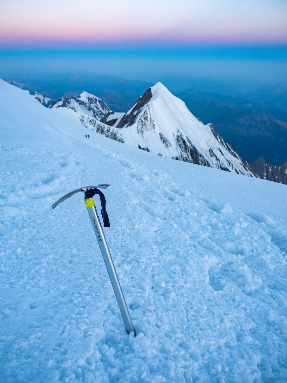
Standing at 4,808m, Mont Blanc is the highest mountain in Western Europe— and a true bucket list climb for mountaineers all over the world! This GPS map follows the exact route I used for my successful solo summit in July 2023 via the Goûter Route, the most popular ascent from the French side, and includes detailed waypoints to guide your progress up this iconic alpine peak.
⚠️ This map was built to support confident climbers aiming for Mont Blanc either solo or as part of an experienced rope team, but as with all alpine routes, conditions can change rapidly— use your own judgment to navigate safely around crevasses and do not blindly follow the GPS!
✅ What’s Included:
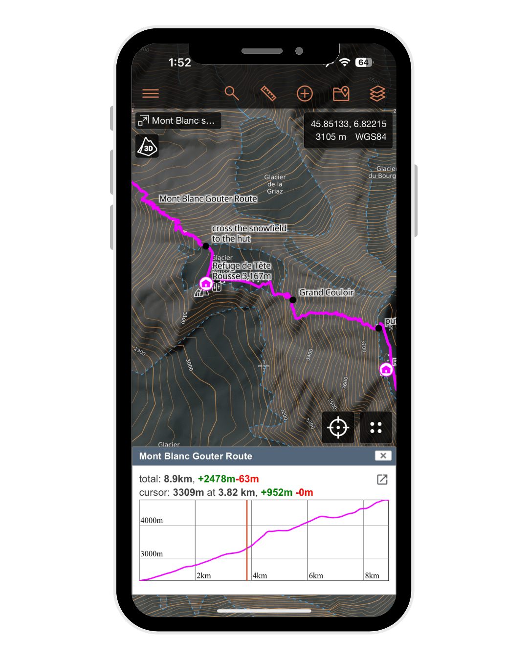
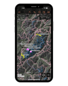
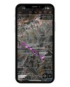
• Complete GPS track of my Mont Blanc summit climb via the Goûter Route
• Waypoints for all 3 huts: Tête Rousse, Gouter, and Refuge du Nid d’Aigle
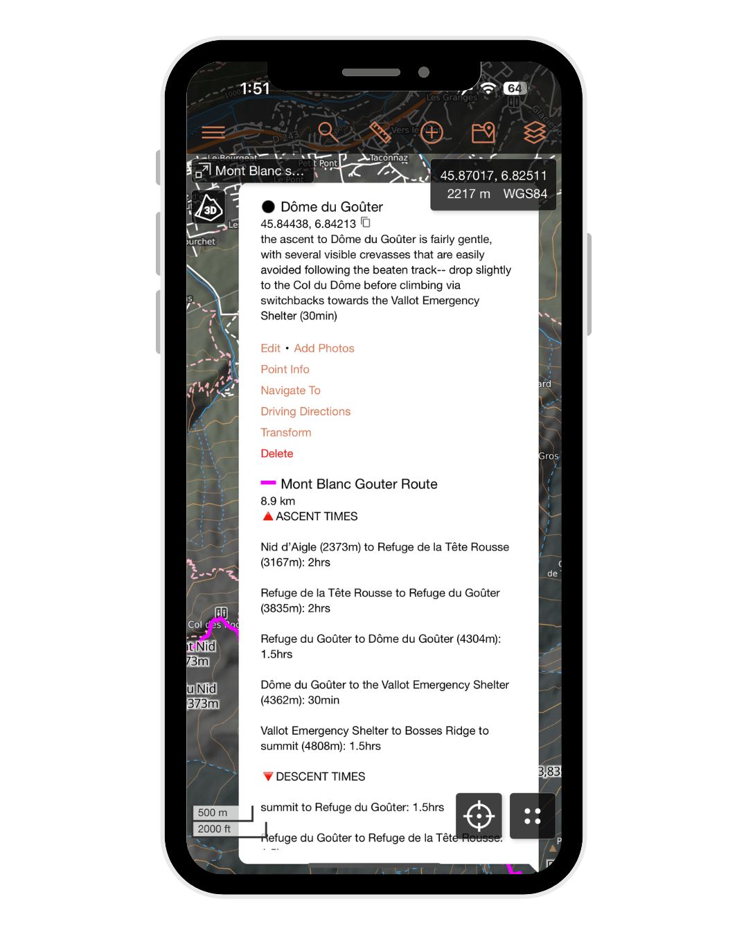
• Key route markers (snowfields, couloirs, glacier entry, summit ridge) with estimated time benchmarks
• 2 recommended training climbs: Aiguille du Tour and Mont Tondu, each with its own track & stats
🗺️ File Compatibility:
Your purchase includes 2 map files:
• JSON file – fully optimised for CalTopo with trail stats, detailed navigational notes & hundreds of waypoints (RECOMMENDED FOR BEST EXPERIENCE!), Gaia GPS, or other mapping apps that support this format
• GPX file – compatible with Gaia GPS, AllTrails & all other GPS mapping apps, but with some loss to internal file structure, colour-coding & trail notes
+ a custom PDF manual – how to import + use your map in ANY platform, with a detailed explanation of map layers, waypoints, navigation & downloading for offline use in CalTopo (9 pages)