
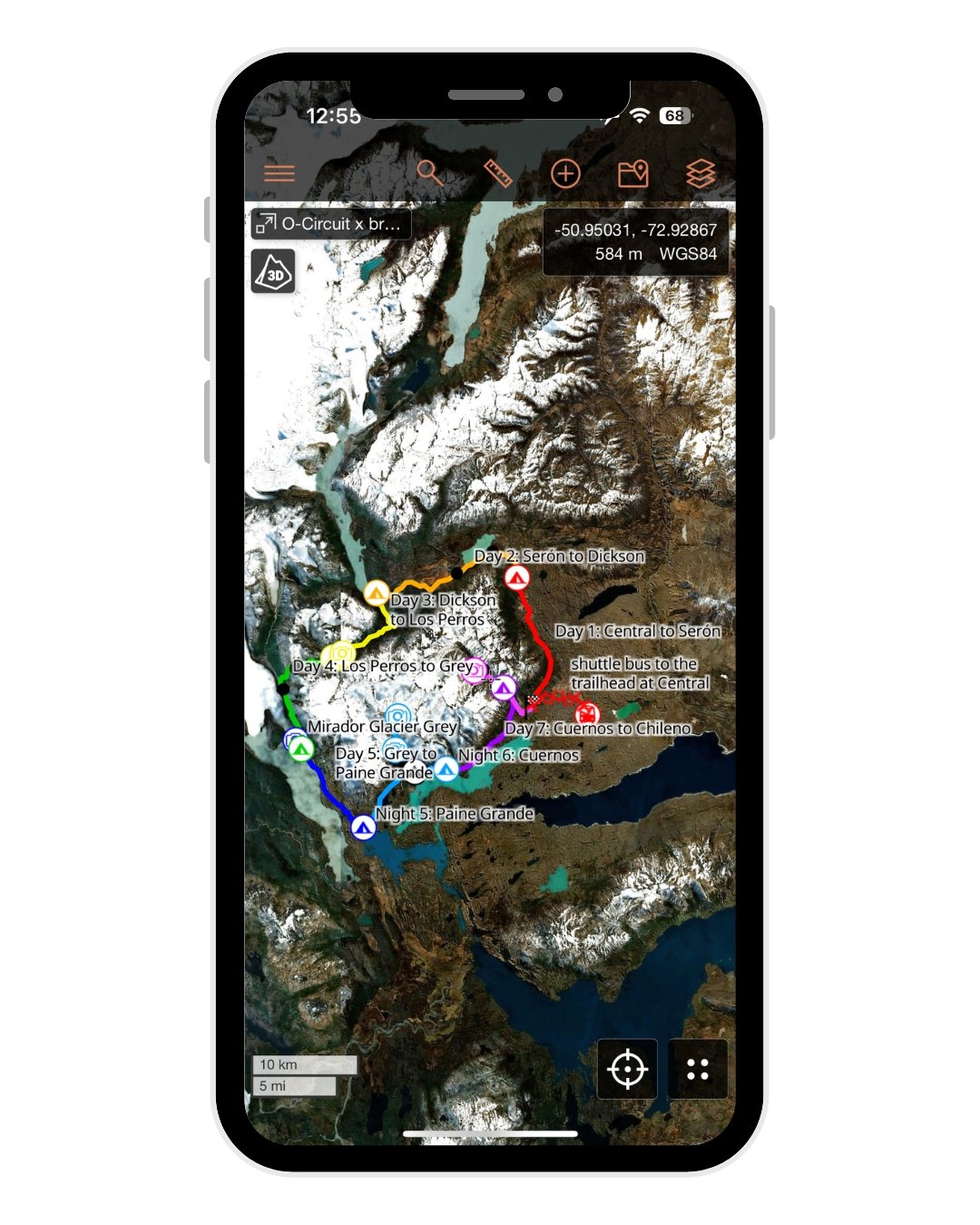
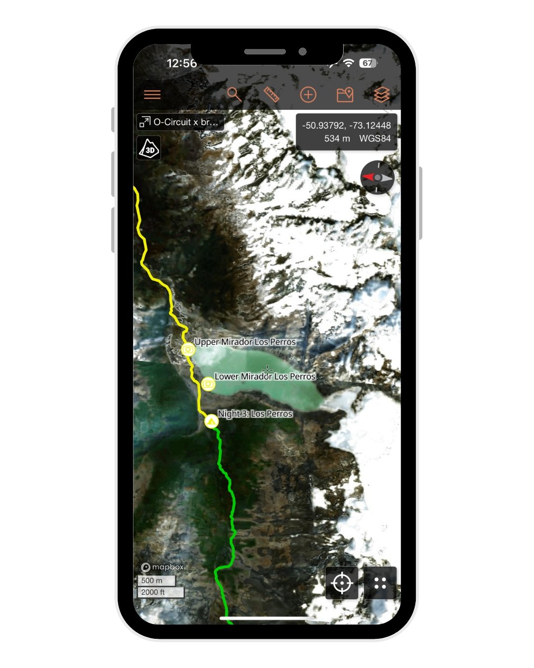

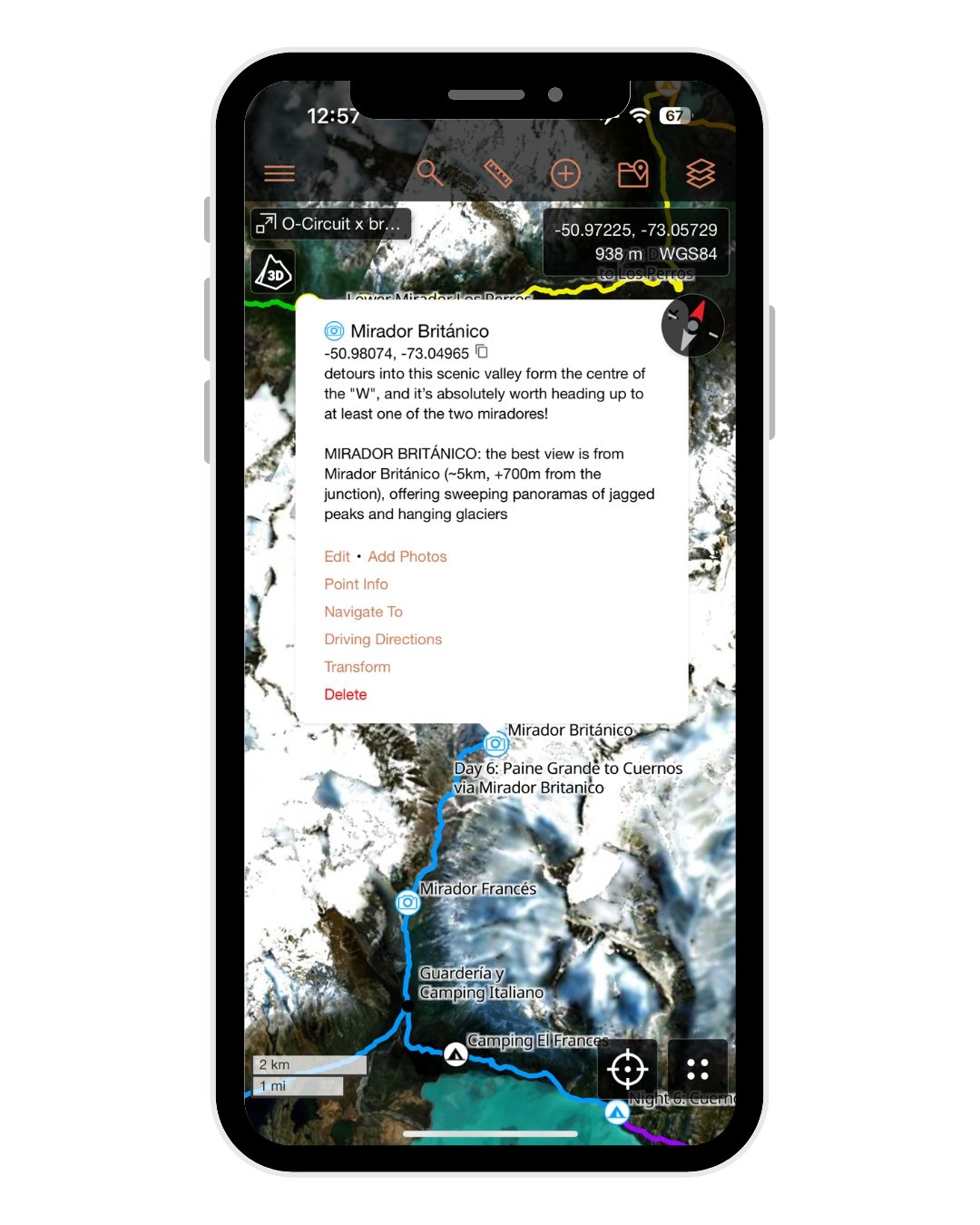
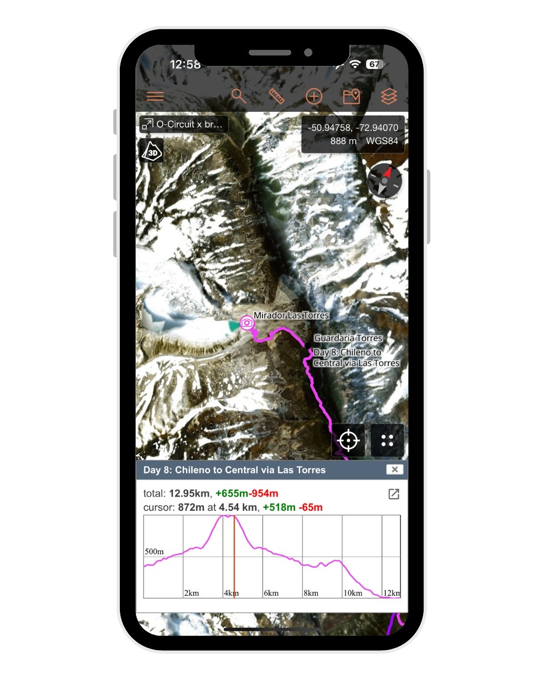












O-Circuit GPS map
The O-Circuit is one of the most iconic multi-day hikes in the world, an 8-day loop around Parque Nacional Torres del Paine in Chilean Patagonia that combines the legendary highlights of the W-Trek with wilder trails, rugged passes, and far fewer crowds.
From the wind-whipped heights of John Garner Pass to the impossibly blue lakes of the French Valley and the famous towers themselves, this GPS map is designed to help you confidently navigate the full O-Circuit— whether you’re hiking solo or just want a more detailed overview of your route!
ps. it also works perfectly for the W-Trek, just adapt the day numbers :)
✅ What’s Included:
• complete daily GPX tracks for the ultimate 8-day O-Circuit adventure (or 5-day W Trek!)
• detailed descriptions for each day on the trail + all important junctions
• all campsites & refugios along the route (with description of services/ammenities)
• 31 total map items, including daily tracks, high passes, campsites, miradores & other key waypoints to help you navigate the entire route
🗺️ File Compatibility:
Your purchase includes 2 map files:
• JSON file – fully optimised for CalTopo with trail stats, detailed navigational notes & hundreds of waypoints (RECOMMENDED FOR BEST EXPERIENCE!), Gaia GPS, or other mapping apps that support this format
• GPX file – compatible with Gaia GPS, AllTrails & all other GPS mapping apps, but with some loss to internal file structure, colour-coding & trail notes
+ a custom PDF manual – how to import + use your map in ANY platform, with a detailed explanation of map layers, waypoints, navigation & downloading for offline use in CalTopo (9 pages)